Navigating the Larapinta Trail: GPS and Navigation Tips for Hikers
The Larapinta Trail is undoubtedly one of the most popular long-distance walks in Australia, and that takes you across several unique areas of the Northern Territory. It covers 223 km from the city of Alice Springs all the way to Mount Sonder and is famous for the gorgeous nature it traverses from Brinkley Bluff to Ellery Creek Big Hole. Tracking the entire taku or getting awesome views of Ormiston Gorge and Serpentine Gorge requires some training in GPS and navigation if the best of the experience is to be achieved. Serious travelers planning a route along the Larapinta Trail may also want to consider joining Larapinta Trail tours. Many guides will make the cut through all the tips and helpful information while traversing the Larapinta Trail Efficiently.
Larapinta Trail Overview
The Larapinta Trail tour is broken into 12 sections, each with its own unique experiences and challenges. Highlights include the views from Razorback Ridge, the greenery of Hugh Gorge, and the rock formations of Standley Chasm. Key points like the Telegraph Station, Glen Helen and Ormiston Gorge are scattered throughout the trail, each revealing a different aspect of the Northern Territory’s rugged landscape. Knowing the layout of the trail and where to find Jay Creek, Spencer Gorge, and Waterfall Gorge is crucial in planning your walk.
GPS and Navigation Tips
1. Download Maps
Before you start, download the Larapinta Trail GPS maps. Use Avenza Maps, Gaia GPS and AllTrails to get offline maps that have trail heads, water sources and major landmarks. Make sure your maps cover all sections of the trail, from Rocky Bar Gap to Euro Ridge. This will help you stay on track and manage your route.
2. GPS Device
A GPS device or smartphone with GPS is essential for accurate navigation. Devices like the Garmin GPSMAP or Suunto Ambit3 will track you precisely and are lifesavers in remote areas. Make sure your device is fully charged and carry extra power banks, especially for Hermits Hideaway and Soul Treader, where charging facilities are limited. A portable solar charger is also good for long trips.
3. Track
Track your progress regularly with your GPS. This is especially important in tricky sections like the Heavitree Range, where trail markers are scarce. Tracking your location will help you stay on track and navigate complex areas like the West MacDonnell Ranges and Millers Flat. This will also help you estimate your arrival time at food drop containers and water tanks.
4. Learn to Read Topographic Maps
Topographic maps show elevation changes and terrain features. Learn to read these maps, and you’ll be able to navigate areas with minimal trail markers. Look for features like sandy creek beds at Fringe Lily Creek and rocky outcrops at Rocky Gully. Understanding contour lines and landmarks will help you navigate better and manage your energy throughout the hike.
5. Carry a Compass
While GPS devices are very reliable, carry a compass as a backup. Knowing how to use a compass with GPS will help you navigate if your device fails or if you’re in areas with no signal, like the Larapinta Express or Inarlanga Pass. Practice using a compass before you start to make sure you’re prepared for any navigation.
6. Plan
Plan your route. Know each section of the trail, including popular campsites like Mulga Camp and primitive campsites. Know your exit points, resupply points and water sources. Key areas to consider are the beauty of Glen Helen, the ruggedness of Arenge Bluff and the views from Counts Point. A good plan will help you manage your hiking and be prepared for planned and unplanned stops.
7. Check the Weather
The NT weather is crazy. Use weather apps to check the forecast regularly and be prepared for anything. The Larapinta Express and Soul Treader sections are tough in bad weather. Be prepared to change your plans and make sure you’re equipped for heat exhaustion and other weather-related stuff.
Trail Sections and Navigation Tips
Ormiston Gorge
Ormiston Gorge is lovely with waterholes. Great for swimming and chillin. Make sure you have the right GPS coordinates for the area and be prepared for crowds at peak times.
Redbank Gorge
Redbank Gorge is another nice bit of the Larapinta Trail with views and a waterhole. Pay attention to trail markers and GPS coordinates, and make sure you have enough water.
Serpentine Gorge
Serpentine Gorge is a beautiful but remote section of the trail. Rough terrain and limited water access mean you need to plan your route and have enough supplies. GPS is super helpful in this section.
Standley Chasm
Standley Chasm is famous for its rock formations and colours. It’s a popular spot so make sure to check trail markers and visit during quieter times if you can. Carry a GPS to navigate the surrounding trails and make sure you’re on the right track.
Hugh Gorge
Hugh Gorge has excellent views and rugged terrain. Use GPS to get through this section and be prepared for variable conditions. Make sure your hiking boots are suitable for the rough terrain and carry extra water.
Ellery Creek
Ellery Creek is a beautiful spot with waterholes and views. A great place to rest and rehydrate. GPS will help you get to this popular spot and find the best campsites and water.
Jay Creek
Jay Creek is a remote and less-used section of the trail. Make sure you have the correct GPS coordinates and plan your route. The area is challenging, so make sure you have enough supplies and navigation tools.
Brinkley Bluff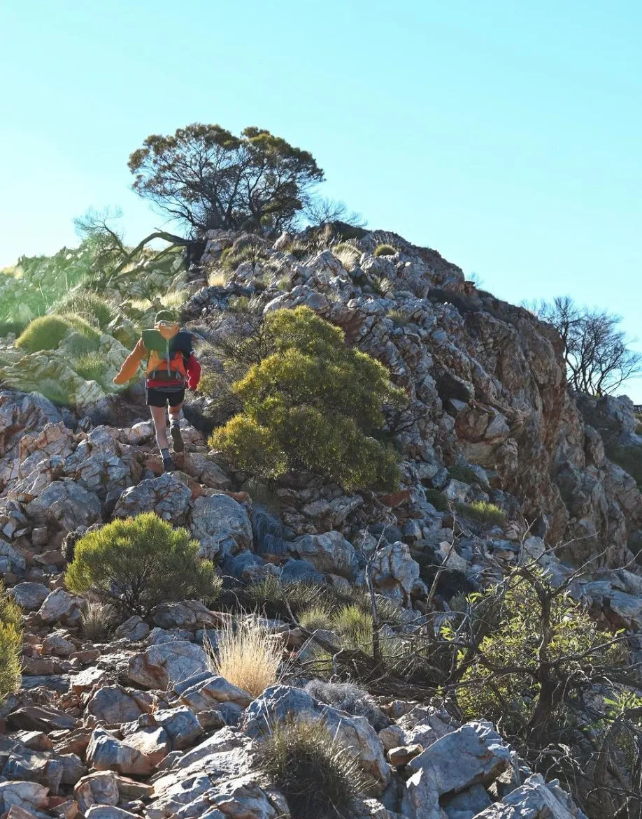
Brinkley Bluff has views and tough hiking. Use your GPS to get through this section and be prepared for steep climbs and rough terrain. Make sure you have a balanced pack weight and proper hiking boots.
Waterfall Gorge
Waterfall Gorge is a beautiful spot with waterfalls and views. GPS will help you get to this spot and find the best routes and lookouts.
Razorback Ridge
Razorback Ridge is rough and tough. Make sure you have the correct GPS coordinates and be prepared for steep and uneven terrain. This section requires high fitness and proper gear.
Glen Helen
Glen Helen is a favourite spot with lovely views and good facilities. Use GPS to find the best campsites and water access points—an excellent place to rest and resupply before moving on.
Telegraph Station
Telegraph Station is a historic site. GPS will get you to the site and surrounding trails. Be aware of camping fees and facilities in the area.
Ellery Creek North and South
Ellery Creek North and South are critical points on the trail, which has lovely views and water. Make sure you have the correct GPS coordinates and plan your stops accordingly. These areas are famous for camping and rest.
Safety Tips for Hiking the Larapinta Trail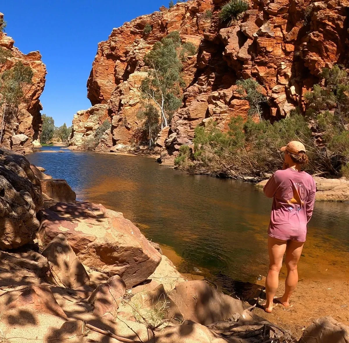
- Tell Someone Your Plan: Always tell a friend or family member of your itinerary and expected return time. This is crucial in remote areas with limited access to help.
- Carry Sufficient Water and Supplies: The Red Centre is arid, so it needs plenty of water (at least 2-3 litres per day) and food. Use water bottles, bladders and food containers wisely. Consider food drop containers for longer hikes.
- Wear Appropriate Gear: Good quality hiking boots and clothing for varying temperatures are essential. Manage your pack weight and include gas canisters and a Larapinta Trail gear list.
- Emergency Contact: Carry a satellite phone or emergency beacon for areas with no phone service. This is especially important in isolated regions like Ghost Gum Flat or the rough terrain of Simpson Gap.